To stand upon the deck of a modern vessel, bathed in the cool, blue glow of a digital plotter, is to engage in a triumph of contemporary engineering. We are tethered to satellites, guided by the precision of invisible geometries that leave little to the imagination. Yet, beneath this veneer of absolute certainty lies a lingering nostalgia for the era of the parchment chart, an age when the mariner’s relationship with the horizon was mediated not by pixels, but by the meticulous hand of the cartographer. These artefacts, weathered by brine and time, remain the most profound records of our ancestors' attempt to impose order upon the chaos of the deep.
The Alchemy of Ink and Imagination
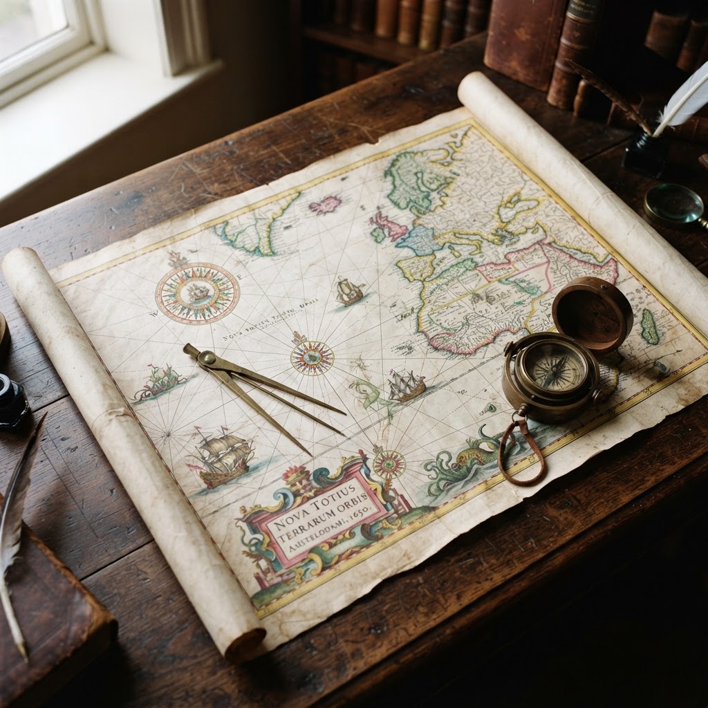
During the golden age of maritime exploration, the chartmaker occupied a position of peculiar prestige, existing somewhere between the scholar, the artist, and the myth-maker. To draft a chart was not merely an act of spatial representation; it was an act of creation. Using vellum, quills, and inks derived from gall nuts and soot, these craftsmen rendered the unknown as a tapestry of potentiality. There was a deliberate fluidity in their work, a willingness to allow the aesthetic form of a coastline to reflect the prestige of the nation it served. The margins of these charts were never merely functional; they were embellished with intricate compass roses, galleons in full sail, and, most famously, the cartographic monsters of the deep—leviathans that warned of the perils lying beyond the reach of charted soundings.
Geometry as a High Art Form
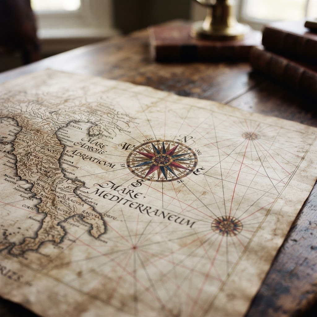
It is a mistake to view these early charts solely as historical curiosities. The development of the portolan chart, with its complex web of rhumb lines criss-crossing the ocean, reveals a sophisticated understanding of geometry that pre-dated the invention of the chronometer. These lines were not merely decorative; they were the scaffolding of a voyage, a rhythmic pulse that dictated the trajectory of discovery. Even as we refine our own navigational tools, there is something deeply grounding about the sight of these intersecting grids. They remind us that the sea has always been a space that must be conquered through discipline and rigour, even when that rigour is dressed in the finery of hand-painted flourishes.
The Coastline as a Canvas
There is a particular melancholy in the way old charts depict the edges of our world. As a yachtsman navigating the familiar, jagged beauty of the Mediterranean or the rugged, unforgiving fjords of the North, one cannot help but admire the patience required to capture such topography with a dip pen. The cartographers of the sixteenth and seventeenth centuries approached the coastline as a living subject, capturing not just the latitude and longitude, but the very essence of a shore’s character. When one gazes upon an ancient rendering of an archipelago, one senses the tension between the observational data provided by weary captains and the cartographer's desire for balanced composition. It is this tension—the dialogue between reality and idealisation—that elevates these documents to the status of high art.
Shadows in the Uncharted Deep
History is written by the victors, but geography is often written by the fearful. The blank spaces on an ancient chart, those vast swathes of emptiness that represent the unvisited ocean, speak to the vulnerability of the sailor. Unlike our modern era, where even the most remote patch of the Pacific is subjected to satellite scanning, the historical mariner had to make peace with the unknown. The decorative sirens and whirlpools inscribed in these void spaces were not just superstitions; they were emotional anchors. They provided a vocabulary for the anxiety of being lost, a visual representation of the psychological burden that came with navigating waters that might well end in a precipice or a phantom island.
A Legacy of Discovery
As we look back at these masterworks, we are forced to reconcile our modern mastery over the environment with the humility required by those who came before us. Every time we unfurl a chart, whether it is a physical paper reference or a high-definition screen, we are participating in a tradition that spans centuries. We are adding our own movements to the collective ledger of human maritime achievement. The aesthetic beauty of the old charts reminds us that navigation is, at its heart, a narrative endeavour. We are not just moving from port to port; we are weaving our own journeys into the fabric of a world that has been documented, contested, and romanticised for generations.
The Persistence of the Mariner’s Eye
Ultimately, the enduring appeal of the nautical chart lies in its ability to inspire wonder. It asks us to look past the technical utility of the coast and appreciate the sheer audacity of being there, afloat on the vast expanse of the world. In an age of digital saturation, there is a profound elegance in returning to the simplicity of lines on a page. The mariner’s eye, honed by history and sharpened by the challenges of the present, continues to seek the beauty inherent in the map. As we set our courses, we do well to remember the ink-stained fingers of the masters who first dared to chart the silence of the sea, leaving us a legacy that transcends the mere acquisition of data to reach toward the sublime.